Geospatial Visualisation & Analytics
Cloud software that turns LiDAR, GIS and drone datasets into interactive dashboards, with 2D and 3D viewing in the browser.

Survey & Mapping Services
DGPS surveys and drone-based aerial mapping produce orthophoto maps, contours, point clouds and corridor records. The measurements named for a mine are volume, slope, area, bench height, cross-sections and the haul road.
Those outputs can be opened in the visualisation workspace, and the same survey file can carry a mine measurement or a corridor record.
What it helps you understand
Deliverables include orthophoto maps, orthomosaics, 3D maps, DSM and DTM contours, point clouds and digital twins. Mining measurements cover volume, slope, area, bench height, cross-sections and haul roads. Corridor work covers route maps and infrastructure records.
Capabilities and deliverables lists how those records are collected and delivered.
Topographic and terrain survey, LiDAR and point clouds, orthophoto maps, elevation mapping, mining measurements, and corridor mapping.
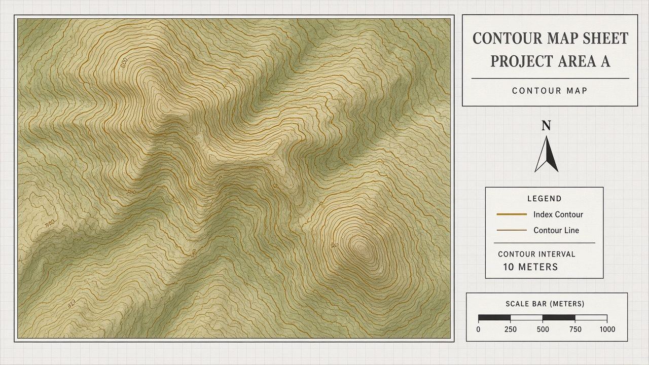
DGPS surveys and drone-based aerial mapping, with orthomosaic and 3D map generation.
View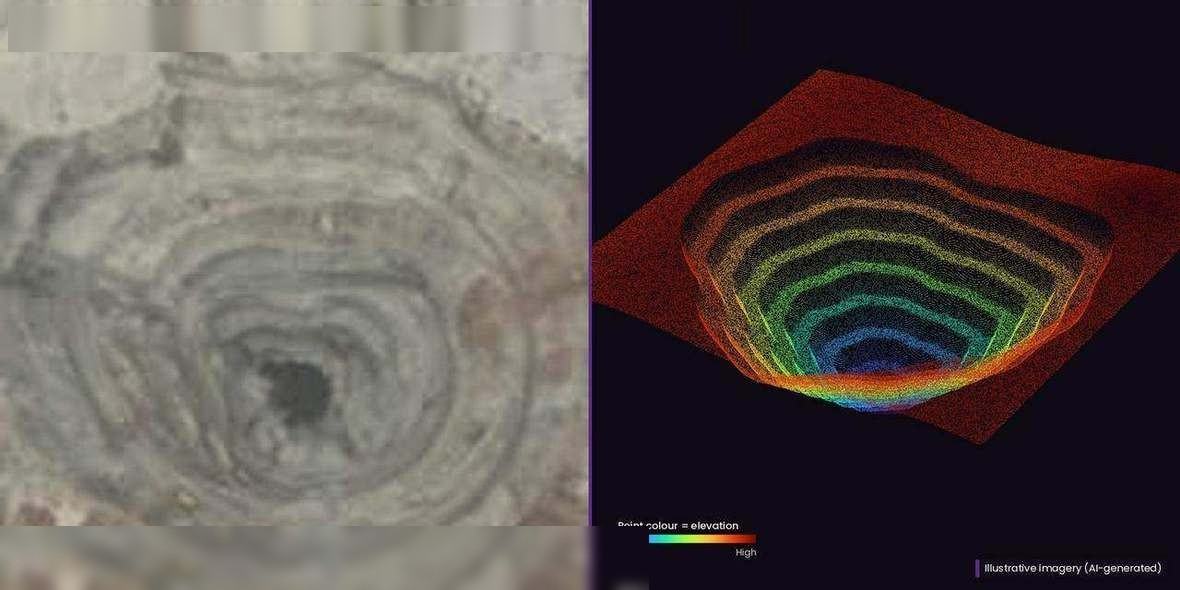
Linear survey and mapping with RGB and LiDAR, POP survey using LiDAR or RGB, and a digital twin and point cloud from airborne LiDAR.
View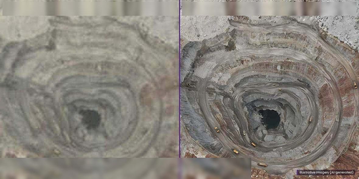
Orthomosaic generation and orthophoto maps.
View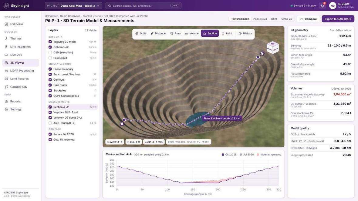
DSM and DTM contour mapping, and 3D map generation.
View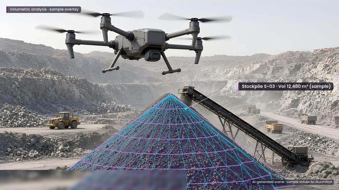
Volume, slope and area calculation, bench-height measurement, cross-section profiles and measurements along haul roads.
View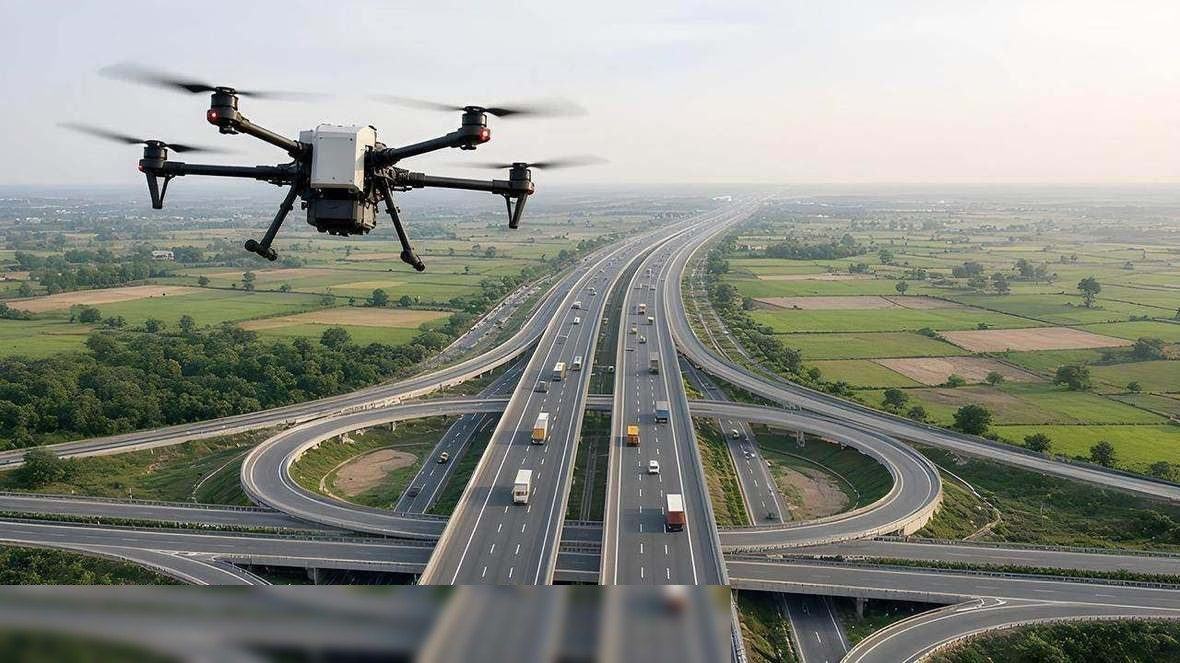
Linear survey and route maps, road-construction monitoring, DPR preparation, bridge and building analysis, BIM modelling and encroachment analysis.
ViewWorkflow
Drone capture is one survey method. The outcome is a checked map, contour or model, plus the report in cloud storage.
DGPS surveys and drone-based aerial mapping collect the site record. Drone capture is one survey method.
Processing includes orthomosaic and 3D map generation, and DSM and DTM contour mapping.
Collection includes image quality verification. The visualisation software includes data-validation workflows.
Delivery includes report generation and cloud storage.
Software
Cloud software that turns LiDAR, GIS and drone datasets into interactive dashboards, with 2D and 3D viewing in the browser.
A cloud system for operational, GIS and infrastructure data, including data collected by drone survey.
FAQ
Topographic and terrain survey, LiDAR and point clouds, orthophoto maps, DSM and DTM contours, 3D maps, volumetric measurements, and corridor and infrastructure mapping.
DGPS surveys and drone-based aerial mapping. Drone capture is one survey method.
Request a Consultation opens the contact page. The enquiry goes to business@atrobot.in. You can also call +91-9319044881.
Spatial & AI Workflow Architecture
Every survey, LiDAR point cloud and inspection dataset flows through Atrobot’s georeferenced processing and validation architecture into cloud GIS.
Next step
The enquiry goes to business@atrobot.in. You can also call +91-9319044881.