One cloud record
Operational, GIS and infrastructure data, including drone survey data, are held together.

Big Data Management
A secure cloud-native system that holds operational, drone, GIS and infrastructure datasets together. It uses distributed storage, role-based authentication, and API links to ERP, IoT and GIS systems, with operational dashboards, real-time ingestion, anomaly detection and audit logging.
It is the layer that keeps those records in one place for the teams who run sites across more than one location. Modular deployment and compliance reporting sit with the dashboards.
Problem
Big Data Management brings operational, GIS and infrastructure data, including data collected by drone survey, into one cloud system.
The record is ingested, stored, and governed with roles and an audit log. Operational dashboards are the view of that record. An API can connect ERP, IoT and GIS systems the organisation already runs. The outcome is one cloud system rather than separate operational and spatial files.
Workflow
Operational, GIS and infrastructure data, including data collected by drone survey.
Distributed storage for that record.
Role-based enterprise authentication, audit logging and compliance reporting.
API integration with ERP, IoT and GIS systems.
Operational analytics dashboards, with anomaly detection.
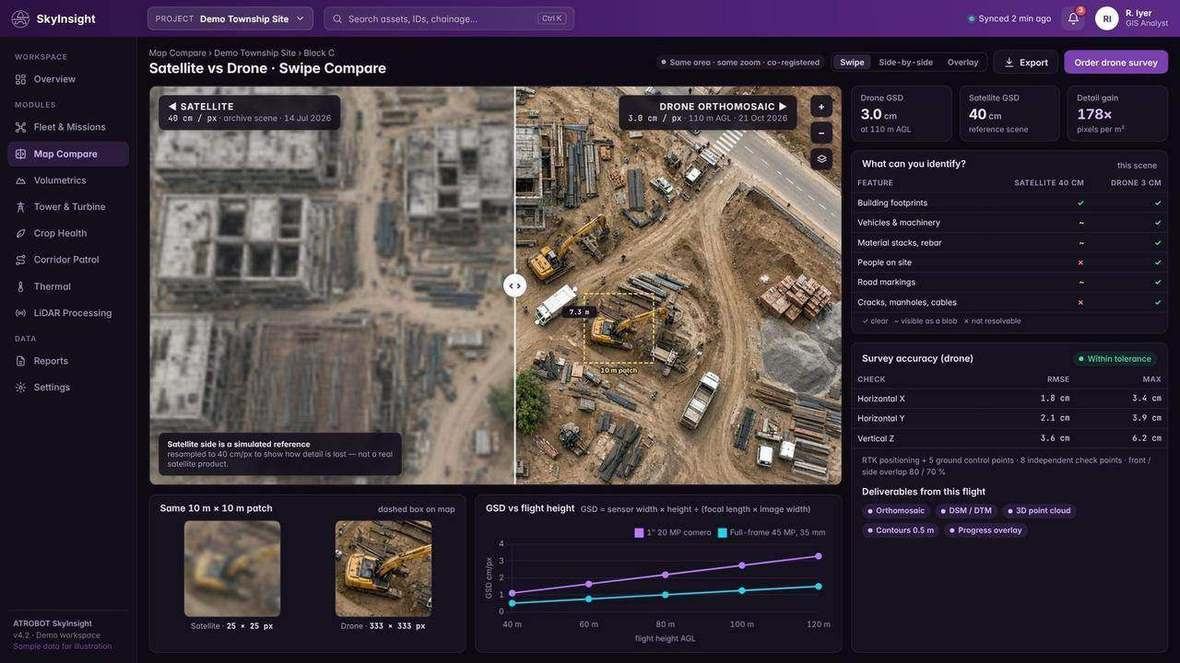
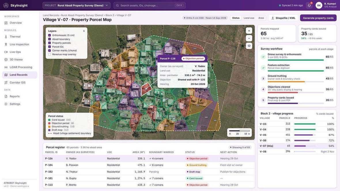
A comparison view and parcel GIS. Live monitoring sits on Surveillance and Monitoring.
Operational, GIS and infrastructure data, including drone survey data, are held together.
Role-based enterprise authentication, and APIs to ERP, IoT and GIS systems.
Operational analytics dashboards, anomaly detection, audit logging and compliance reporting.
Designed for mining, power utilities, public-sector organisations, government departments, infrastructure companies and smart-city command centres.
Drone survey data is one of the datasets this system holds, with GIS data and infrastructure data from the survey services.
FAQ
Operational, GIS and infrastructure data, including data collected by drone survey.
ERP, IoT and GIS systems, through APIs.
Mining, power utilities, public-sector organisations, government departments, infrastructure companies and smart-city command centres.
Request a SaaS Demo. The enquiry goes to business@atrobot.in. You can also call +91-9319044881.
Spatial & AI Workflow Architecture
Every survey, LiDAR point cloud and inspection dataset flows through Atrobot’s georeferenced processing and validation architecture into cloud GIS.
Next step
The enquiry goes to business@atrobot.in. You can also call +91-9319044881.