Inputs
Geospatial Visualisation & Analytics takes LiDAR in as LAS and LAZ. The same platform also accepts GeoTIFF, SHP, GDB, GeoJSON, CAD and BIM.

LiDAR & point-cloud processing
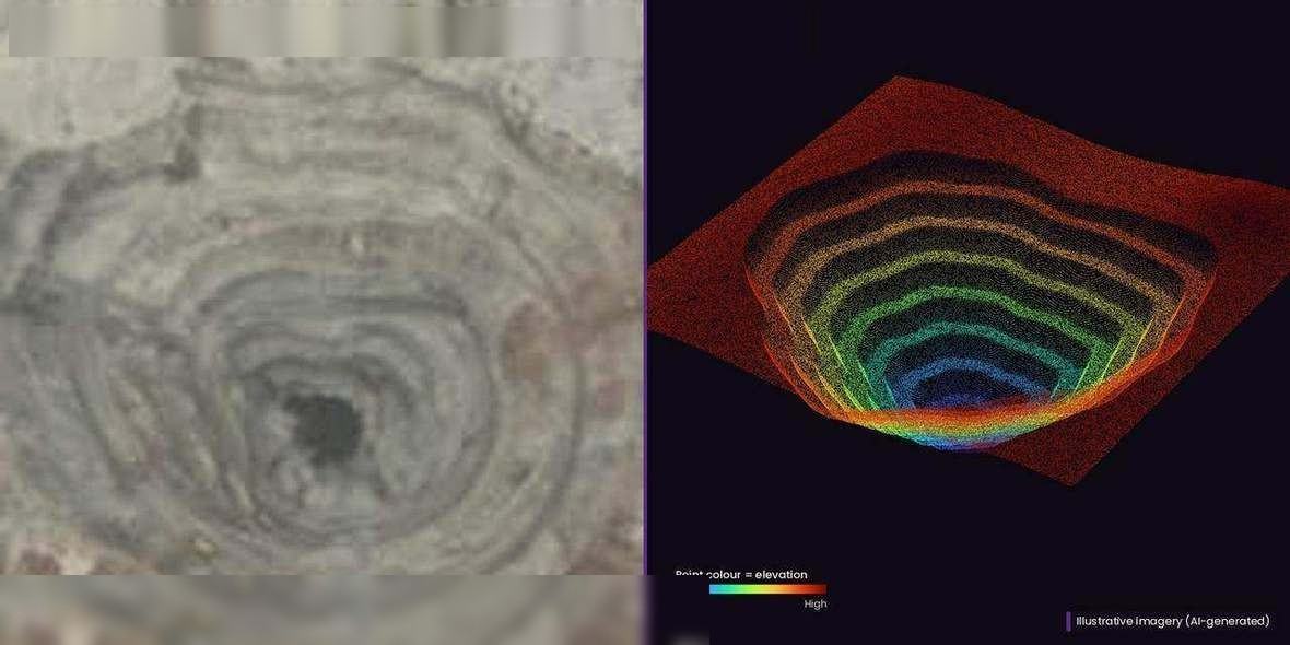
Linear survey and mapping with RGB and LiDAR, POP survey using LiDAR or RGB, and a digital twin and point cloud from airborne LiDAR. Those clouds open in the visualisation workspace beside the route and asset record.
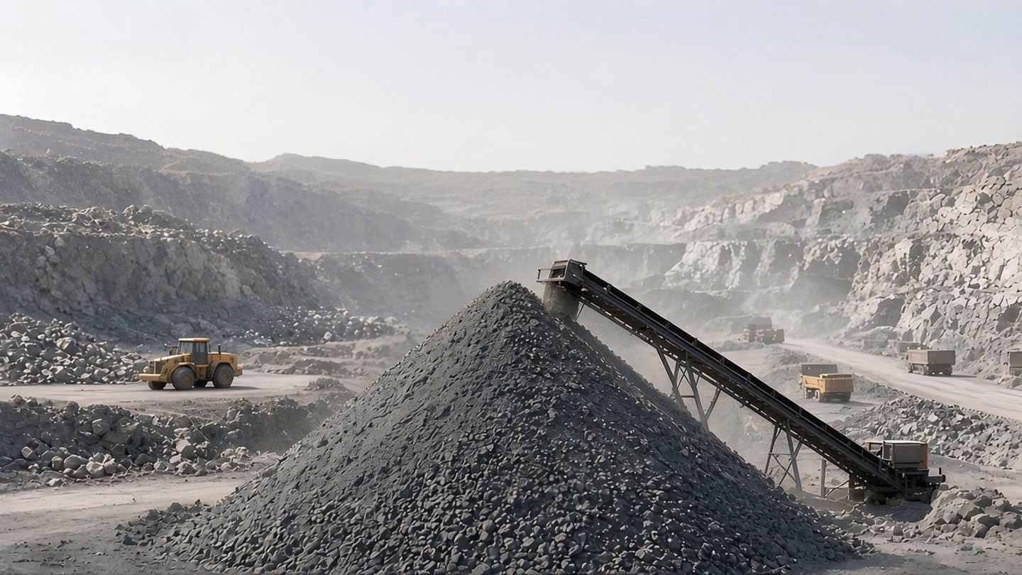
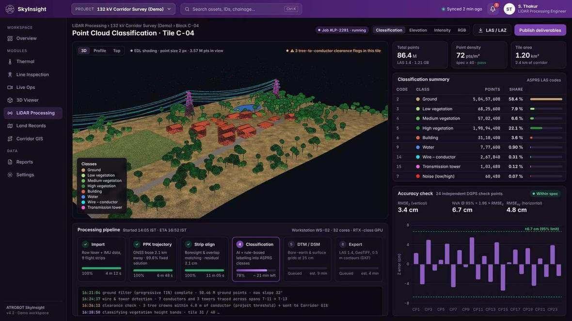
Classified points, the route and the asset record can be opened together in the visualisation workspace.
What it helps you understand
Telecom work includes linear survey and mapping with RGB and LiDAR, and POP survey using LiDAR or RGB. Power-line work includes a digital twin and point cloud from airborne LiDAR, and cloud-based asset records.
Workflow
The outcome is a point cloud and, for the power line, a digital twin, with digitised features in the visualisation workspace.
Linear survey and mapping with RGB and LiDAR. POP survey using LiDAR or RGB. Airborne LiDAR for the point cloud and digital twin. Drone capture is one survey method.
The airborne LiDAR survey produces a digital twin and a point cloud. Telecom data is digitised, and features are identified in the web visualisation tool.
RGB collection includes image quality verification. The visualisation software includes data-validation workflows.
A point cloud, a digital twin, digitised data, and cloud-based asset records.
Geospatial Visualisation & Analytics takes LiDAR in as LAS and LAZ. The same platform also accepts GeoTIFF, SHP, GDB, GeoJSON, CAD and BIM.
The survey products are a point cloud, a digital twin and digitised data, plus cloud-based asset records.
Software
Cloud software that turns LiDAR, GIS and drone datasets into interactive dashboards, with 2D and 3D viewing in the browser.
A cloud system for operational, GIS and infrastructure data, including data collected by drone survey.
FAQ
Linear survey and mapping with RGB and LiDAR, POP survey using LiDAR or RGB, and a digital twin and point cloud from airborne LiDAR.
LAS and LAZ. The same platform also accepts GeoTIFF, SHP, GDB, GeoJSON, CAD and BIM.
Request a Consultation. The enquiry goes to business@atrobot.in. You can also call +91-9319044881.
Spatial & AI Workflow Architecture
Every survey, LiDAR point cloud and inspection dataset flows through Atrobot’s georeferenced processing and validation architecture into cloud GIS.
Next step
The enquiry goes to business@atrobot.in. You can also call +91-9319044881.