Browser viewing
Geospatial Visualisation & Analytics includes 2D and 3D viewing of LiDAR, GIS and drone datasets.

Geospatial SaaS
Geospatial Visualisation and Analytics turns LiDAR, GIS and drone datasets into interactive 2D and 3D dashboards. Big Data Management holds operational, GIS and infrastructure data, including data collected by drone survey, in one secure cloud system. Surveillance and Monitoring reviews drone and fixed-camera feeds.
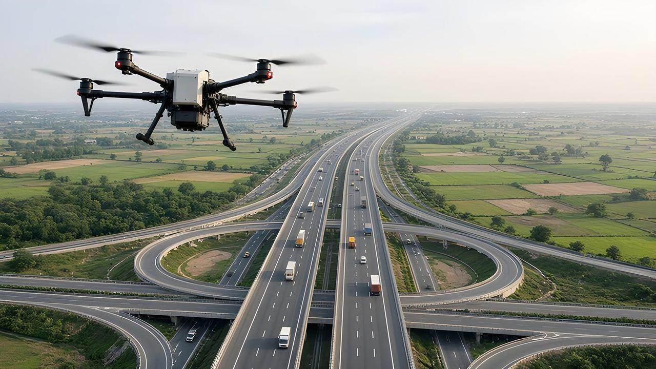
Problem
LiDAR, GIS and drone datasets need a browser workspace. Operational, GIS and infrastructure data, including drone survey data, need a cloud system that can store them and show them on dashboards.
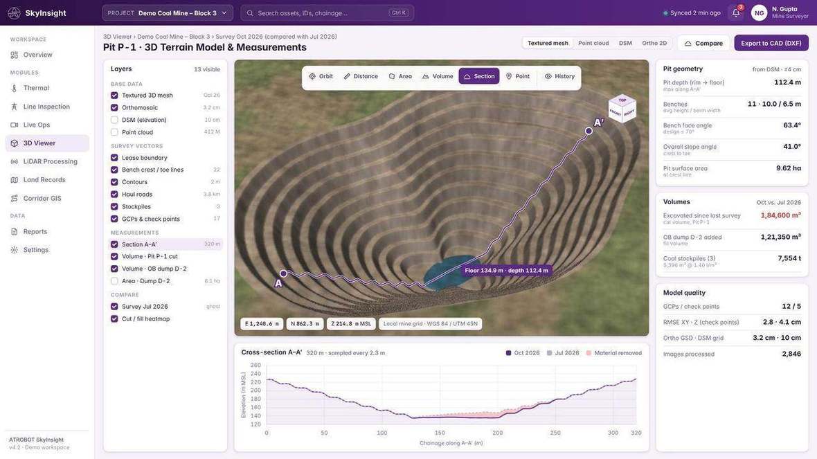
Cloud software that turns LiDAR, GIS and drone datasets into interactive dashboards, with 2D and 3D viewing in the browser.
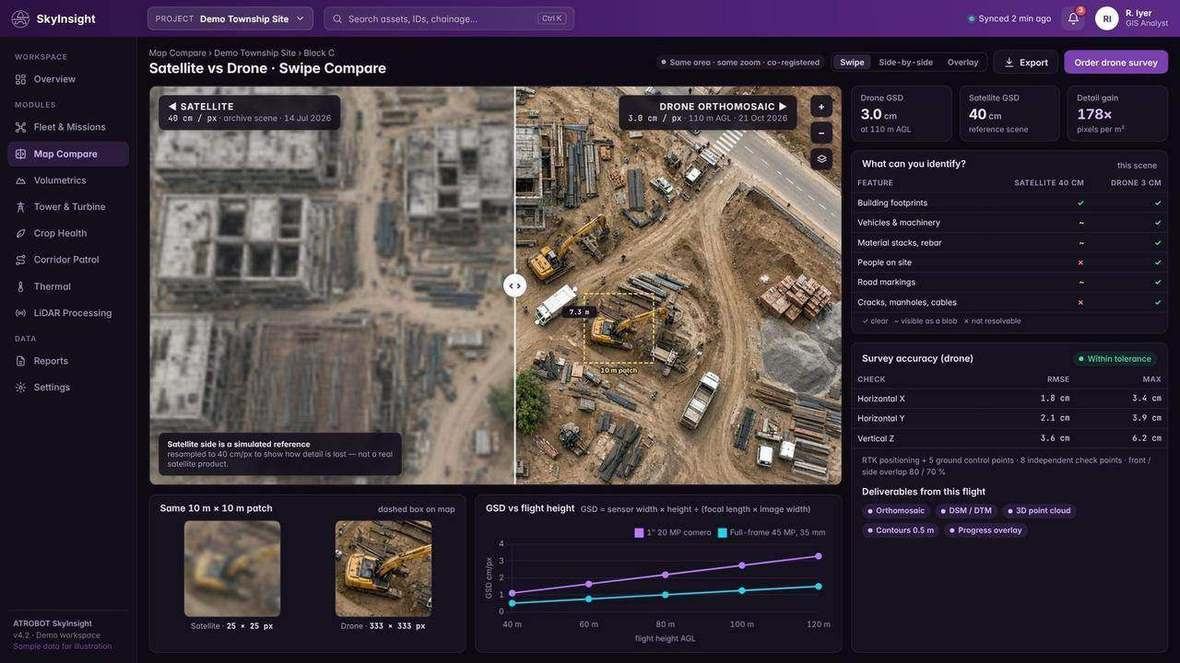
A cloud system for operational, GIS and infrastructure data, including data collected by drone survey.
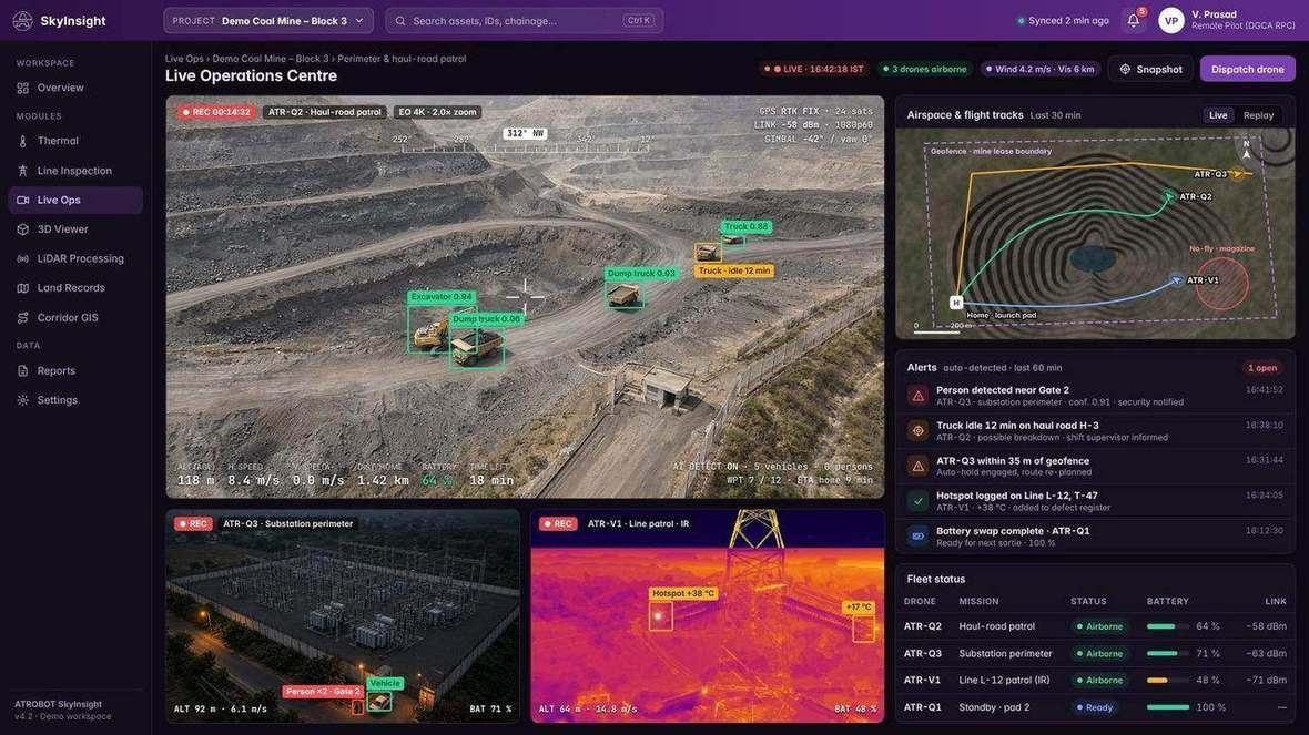
Drone and fixed-camera feeds in one monitoring view, with detection, alerts and a control-room record.
Workflow
The outcome is one workspace for the survey record and the operational data, with access limited by role.
LiDAR, GIS and drone datasets, plus operational and infrastructure data. Formats include LAS/LAZ, GeoTIFF, SHP, GDB, GeoJSON, CAD and BIM.
LAS/LAZ processing and data-validation workflows.
2D and 3D viewing in the browser, and a collaborative cloud GIS workspace.
Feature extraction, volume and area, slope and terrain, cross-sections, and operational analytics dashboards.
Role-based access and audit trails on the visualisation platform. Role-based enterprise authentication on Big Data Management.
Geospatial Visualisation & Analytics includes 2D and 3D viewing of LiDAR, GIS and drone datasets.
Feature extraction, classification, volume, area, slope, terrain, cross-sections, digital twin modelling and AI-assisted defect detection.
Big Data Management stores operational, GIS and infrastructure data, with APIs to ERP, IoT and GIS systems and operational dashboards.
Designed for mining, mapping authorities, ports and railways, urban development and infrastructure companies.
Designed for mining, power utilities, public-sector organisations, government departments, infrastructure companies and smart-city command centres.
Both platforms are for data the survey services produce: maps, point clouds, orthophotos, DSM and DTM contours and infrastructure records, and the drone survey data collected with that work.
FAQ
Visualisation works with LiDAR, GIS and drone datasets, including LAS/LAZ, GeoTIFF, SHP, GDB, GeoJSON, CAD and BIM. Big Data Management holds operational, GIS and infrastructure data, including data collected by drone survey.
Request a SaaS Demo opens the contact page. The enquiry goes to business@atrobot.in. You can also call +91-9319044881.
Spatial & AI Workflow Architecture
Every survey, LiDAR point cloud and inspection dataset flows through Atrobot’s georeferenced processing and validation architecture into cloud GIS.
Next step
The enquiry goes to business@atrobot.in. You can also call +91-9319044881.