Welcome to ATROBOT: Your Gateway to Geospatial Innovation
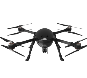
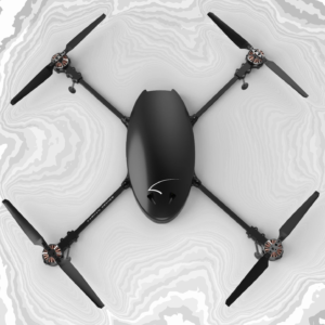
Atrobot is your trusted partner in advanced geospatial solutions, offering top-tier survey technologies and drone-based services for a range of industries, including mining, telecom, powerline infrastructure, and large-scale mapping.
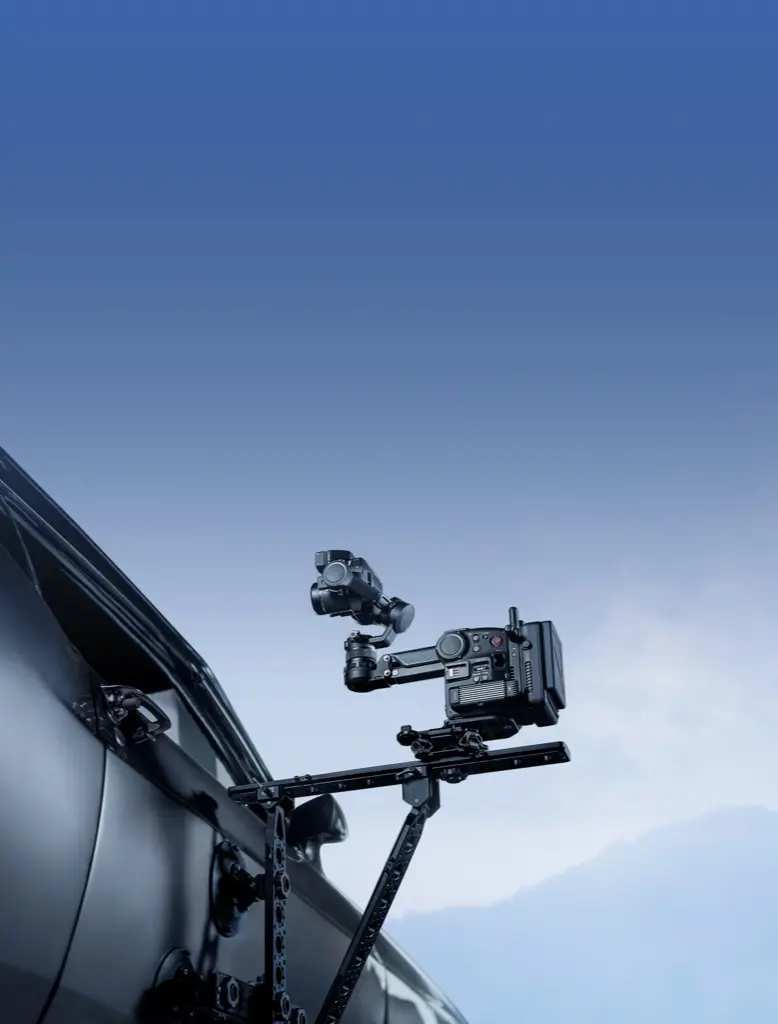
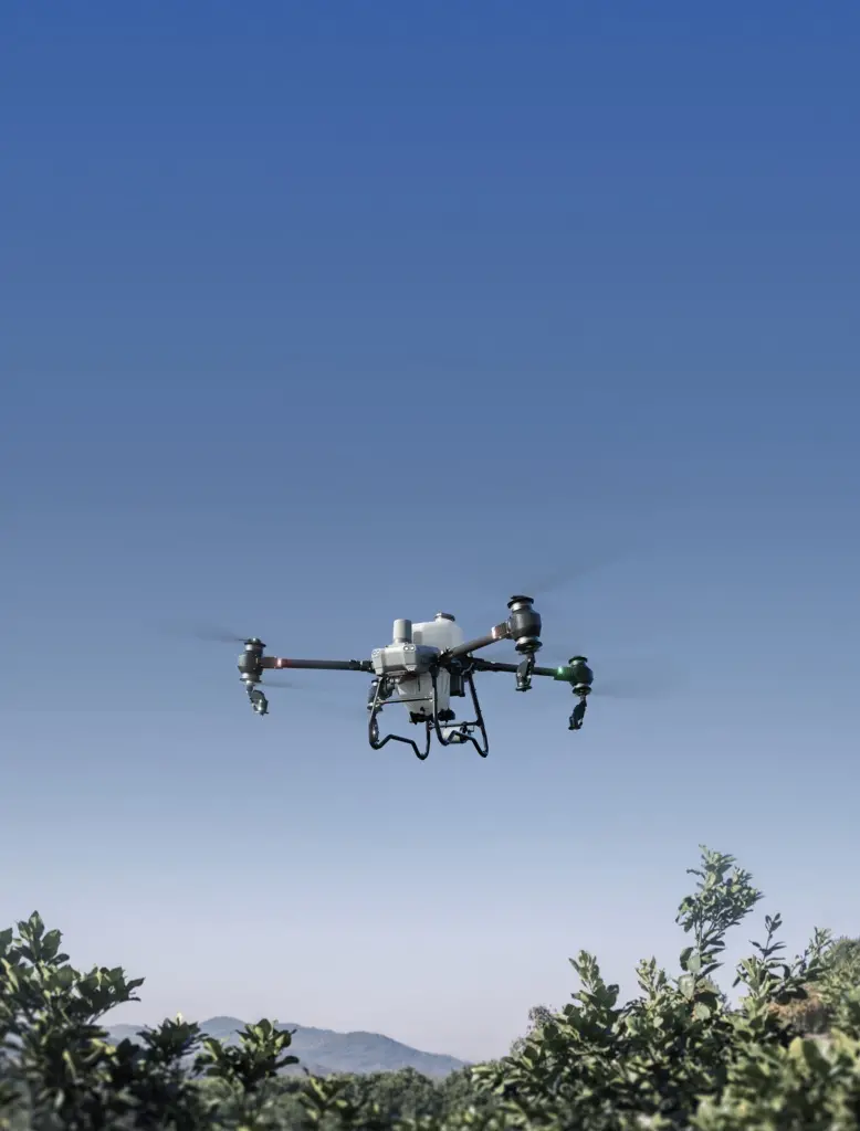
At Atrobot, we are dedicated to leveraging cutting-edge drone technology to transform industries such as mining, telecom, and agriculture. Our team of passionate innovators and problem solvers work tirelessly to provide high-precision surveys, efficient powerline mapping solutions, and a variety of other geospatial services. Our cloud-based platform ensures that our clients receive reliable data and analysis quickly, helping them to complete their projects on time and with unmatched accuracy.
Atrobot’s drone surveys saved us weeks of manual data collection. Their precision and attention to detail helped us optimize our mining operations like never before.
John M.Mining Industry
The aerial telecom surveys by Atrobot have been a game-changer for us. The data was incredibly accurate, and their team was highly professional throughout.
Priya RTelecom Network Planner
We used Atrobot for a large-scale mapping project, and their drones provided top-quality data in record time. Highly recommend their services!
Ravi TInfrastructure Developer
The environmental monitoring solutions provided by Atrobot were invaluable. The drone data helped us create accurate reports and make informed decisions about conservation.
Anna SEnvironmental Consultant
Atrobot's powerline mapping solutions were efficient and saved us significant downtime. Their cloud-based platform made data analysis simple and fast.